Stronsay is known as Orkney's ‘Island of Bays’.
Its distinctive star shape provides spectacular sea views at every turn and this relatively sedate route includes three of the island's beautiful beaches, with the option to add a very short detour and include a fourth.
In terms of length, our Stronsay circuit is at the upper level of what we’d class as a grade two, but it does pass a couple of shops, a playpark and those beach stops, so hopefully you should be able to keep your young cyclists motivated. The section to Sand of Rothiesholm can also be cut out to reduce the overall distance by around 5km.
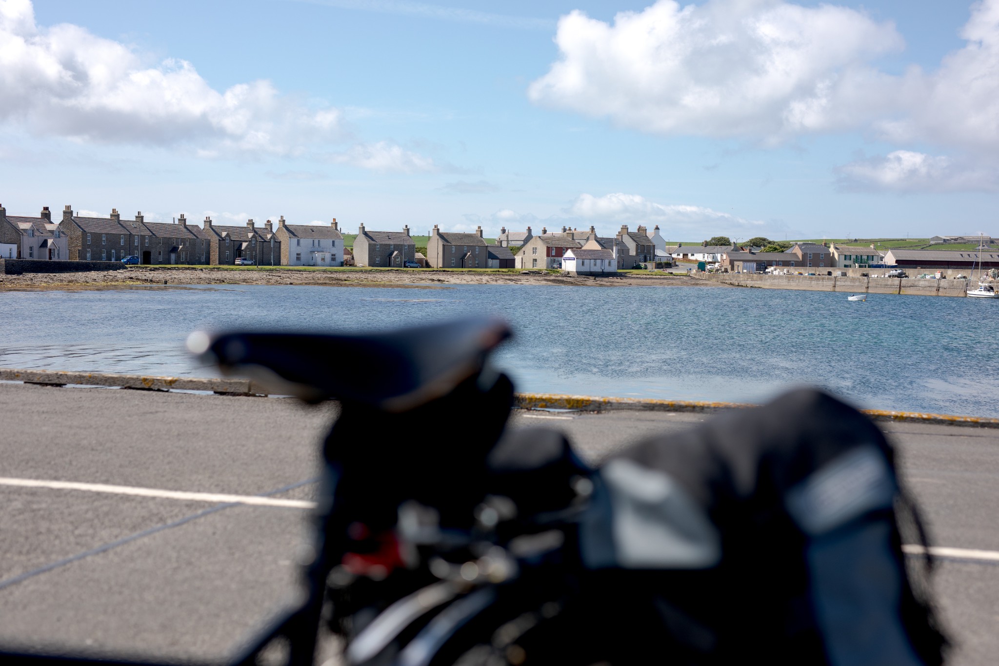
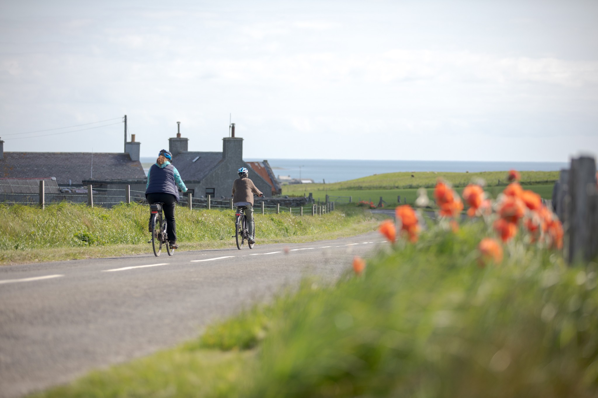
After arrival on the ferry, turn right at the top of the pier passing the Stronsay Hotel. If you’ve rented a bike from Stronsay’s fantastic free bike hire scheme (pre-booking is advised), head through the village to the island’s development trust office at Wood’s Yard, just past the Storehouse B&B before the road curves left uphill. Here you'll also find the island's Heritage Centre, which tells the story of Stronsay's important role in the Scottish herring fishery, as well as many other fascinating aspects of local history.
From here, carry on up the hill before descending again to pass a small, sandy beach on the left called the Ayre of the Myres. The road then rises uphill gently for about 1.5km until it reaches a T-junction. This is now you on the comparatively high spine of the island. Turn left at the junction.
After around 500m you’ll see a sign pointing down a farm track on your right to St Catherine’s Bay. It’s a beautiful beach and well worth the short detour. You may want to head down the track on foot, ensuring that bikes aren’t blocking access for other vehicles.
Carrying on southeast along the main road you’ll first pass the school and community centre, where there’s a public toilet open at the back of the building and an excellent playpark for youngsters. This is the highest point in the island with great views across its numerous beaches and neighbouring isles.
The road now takes you downhill past the distinctive Moncur Memorial Church with the well-stocked shop of Olivebank on the left around 200m further on.
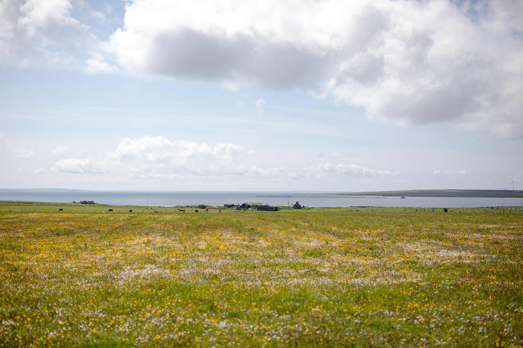
Keep on this road for another 2km until you arrive at a T-junction. Turn left here. The road rises gently, giving fine views back across the centre of the island to the left, with the loch of Meikle Water in the foreground.
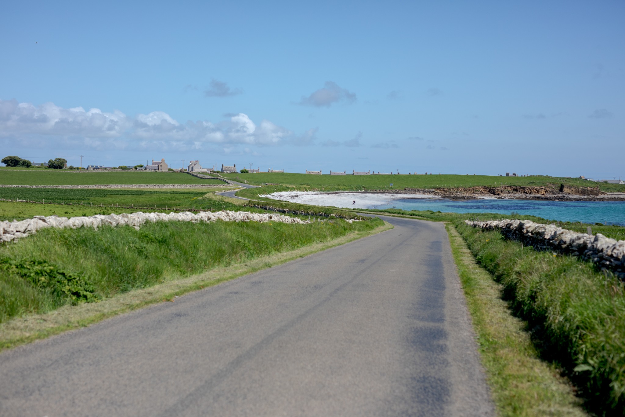
After around 2km the road takes a sharp turn to the left. You do have the option here of turning to the right and following the signs for the Vat of Kirbister. This involves an extra 4km of cycling followed by a beautiful coastal walk of around 1.5km.
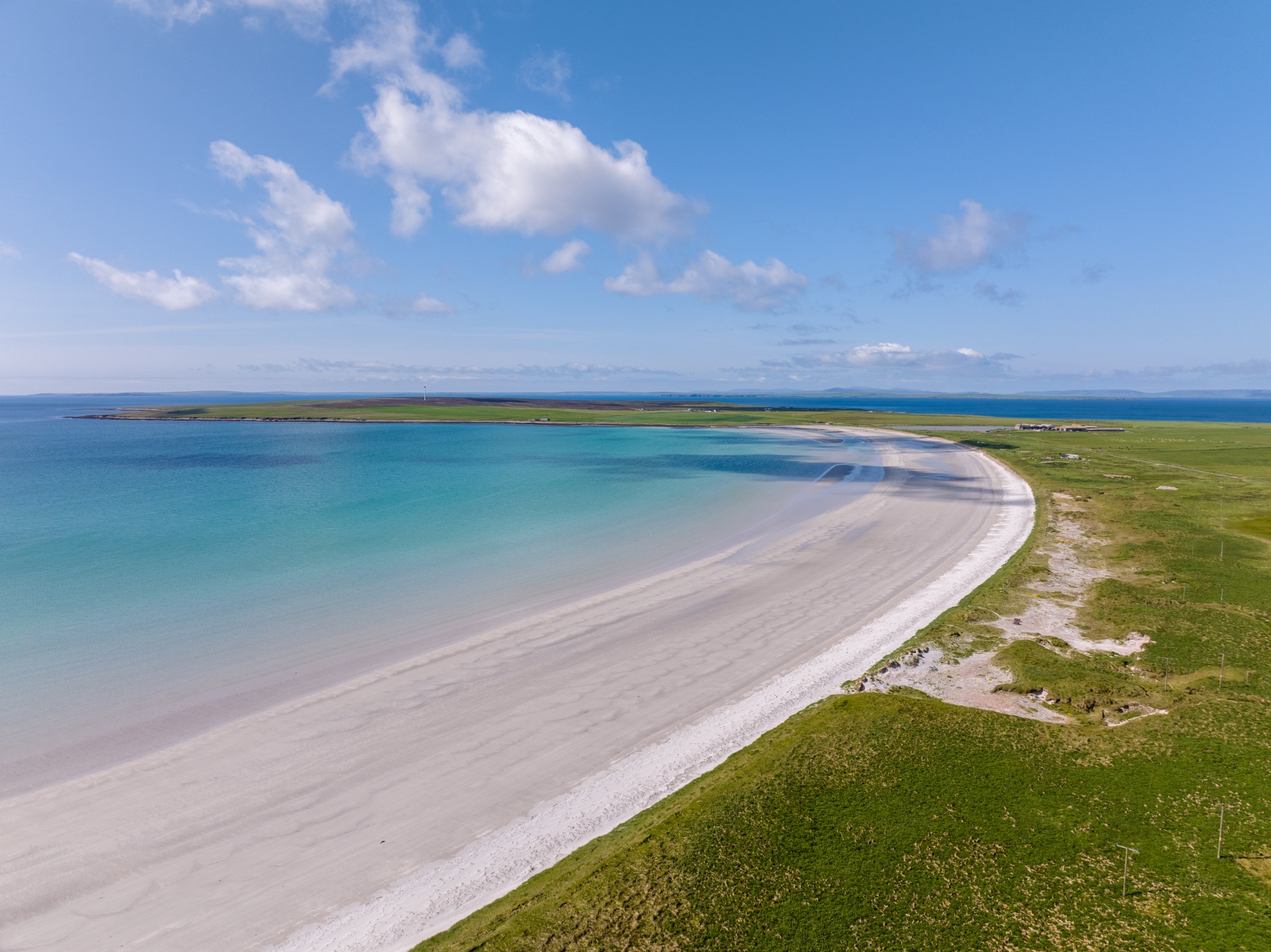
Otherwise, follow the road to the left heading down towards Mill Bay. After around 2km the road takes a sharp turn to the left. Access to the beach is via a track opposite this bend. Ensure bikes are kept clear of the access track to the beach.
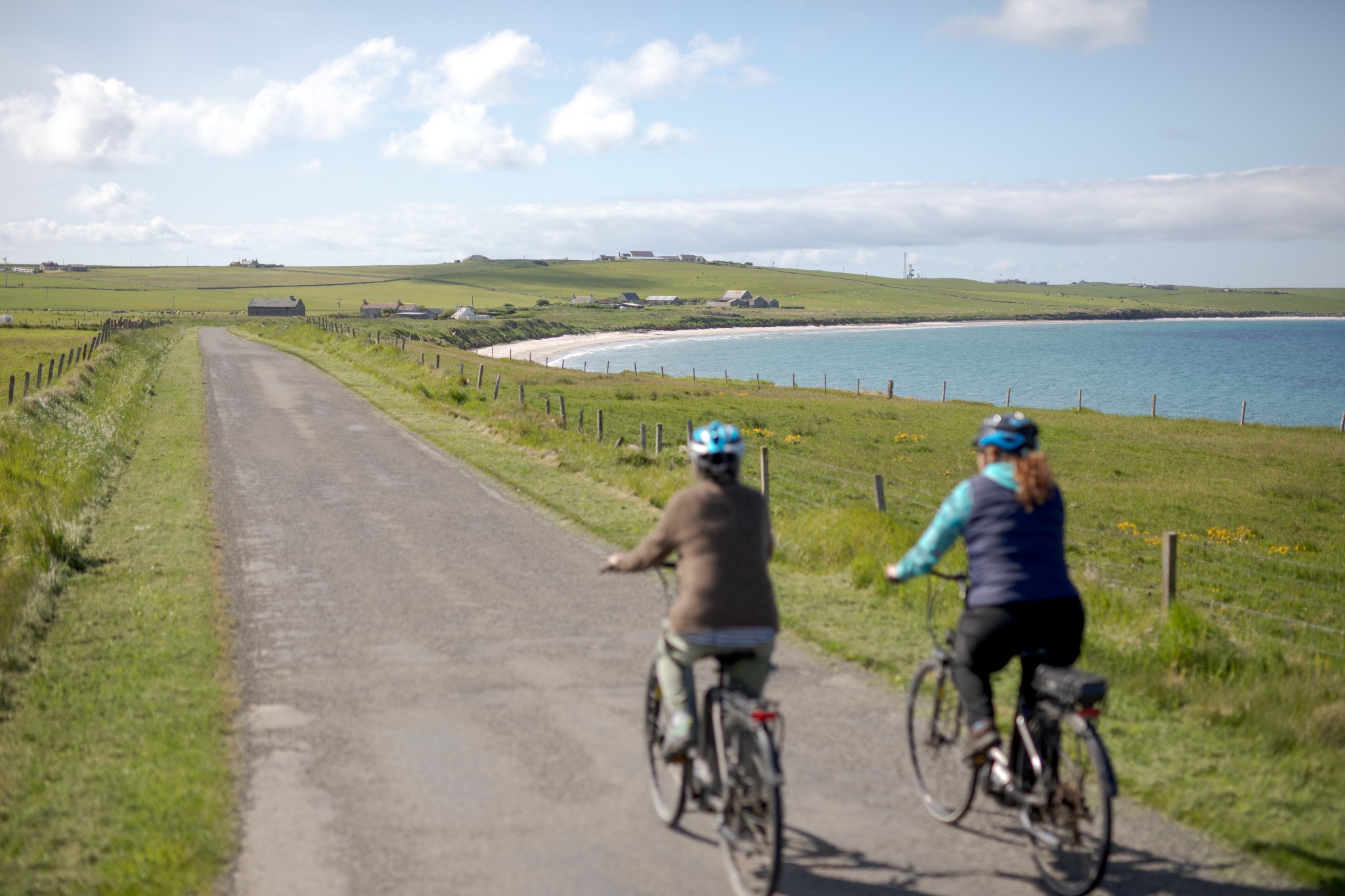
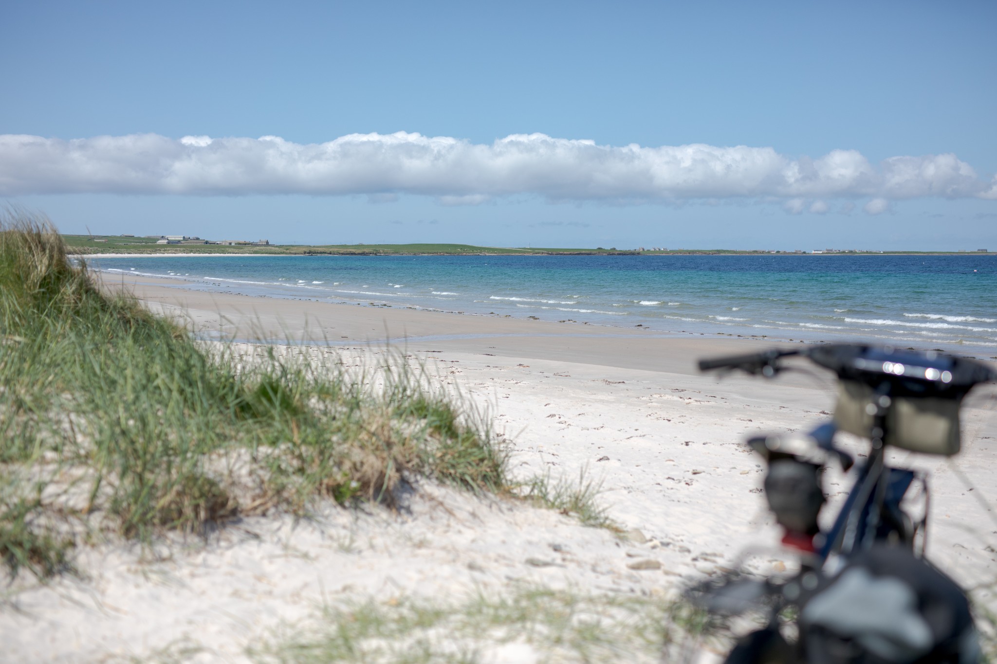
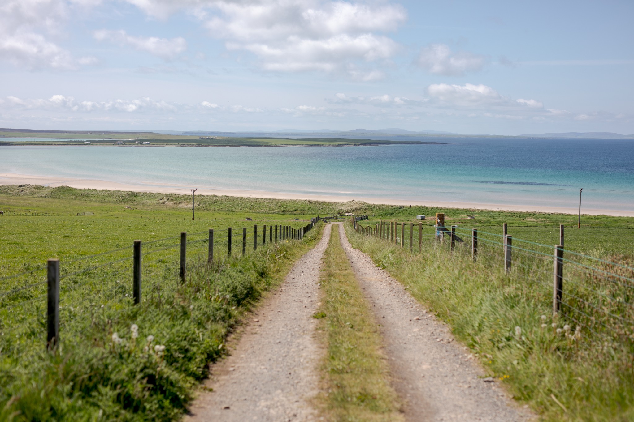
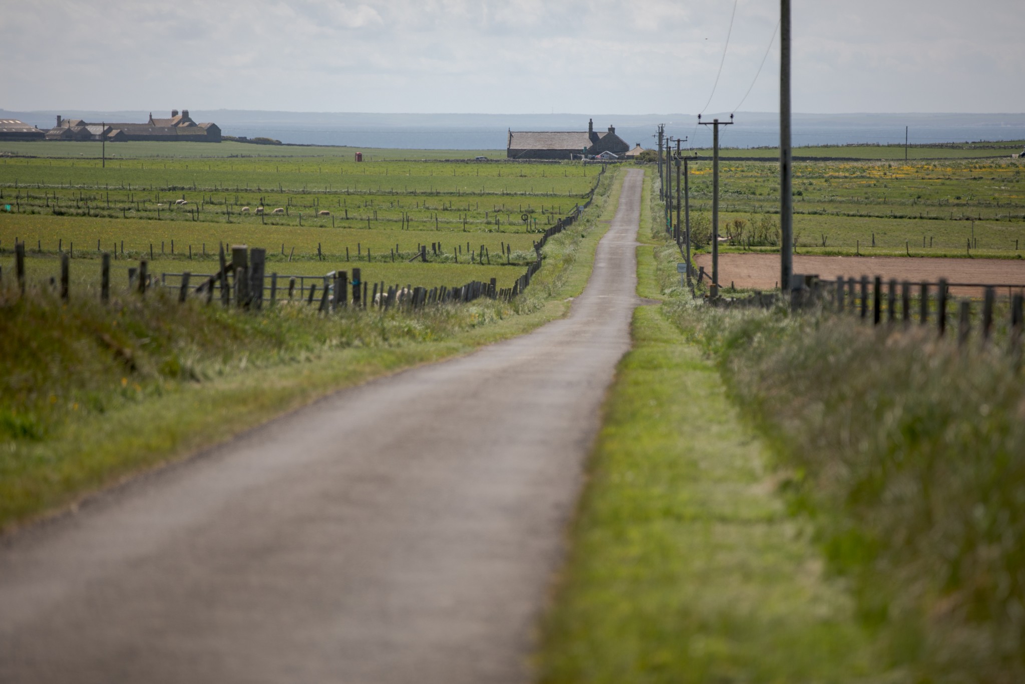
Carry on along the road as it heads gently uphill. At the T-junction turn right then immediately left. Follow the road for around 2.5km until you see a sign for Rothiesholm Beach on the left. It’s a fabulous sandy beach, almost a mile long.
Return by your outward route back to the junction with the main road, turning left to pass the school. As you head gently downhill don’t take the first road on the right towards the village (the one you came up earlier), instead, carry on a further 1km, enjoying the views across the islands of Eday with Rousay in the distance and take the next road on the right, which leads you the final 2km back to the village.
- Plan your trip to Stronsay
Daily ferries connect Stronsay and Kirkwall. View timetables and book online via the Orkney Ferries website. Booking in advance is recommended, and bikes can be carried for free.
You can also fly to the island with Loganair's inter-isles service. Visit the Loganair website to view the current timetable.
There are two public toilets available in Stronsay – one at the island's pier and another at the Stronsay Community Centre.
Find out more about Stronsay on the island's Explore page, or visit the official island website.
- Food & drink
The excellent Fish Mart Hostel & Café can be found in Whitehall, offering light bites and more. There are two well-stocked shops too, Ebenezer Stores in the village, and at Olivebank in the centre of the island.
This cycle route information was funded through the North Isles Landscape Partnership Scheme by the National Lottery Heritage Fund.