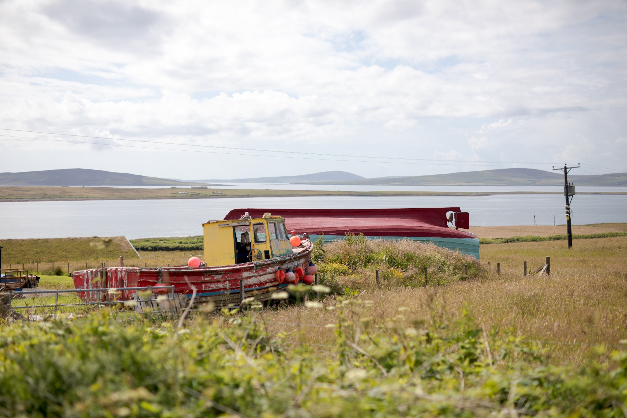
Rousay and Shapinsay are Orkney’s two largest inner north isles but could hardly be more contrasting.
While Shapinsay is famed for its gentle, fertile landscape, Rousay is its polar opposite. The island’s interior is wild and hilly, with communities scattered along the ribbon of road that makes its way around its circumference.
An unrelenting 200m ascent along the northerly section of the route means it’s probably a bit too much for very young cyclists, but active youngsters should manage an out-and-back route as far as the fabulous Midhowe Broch (though even this does involve a fair bit of up and down!)
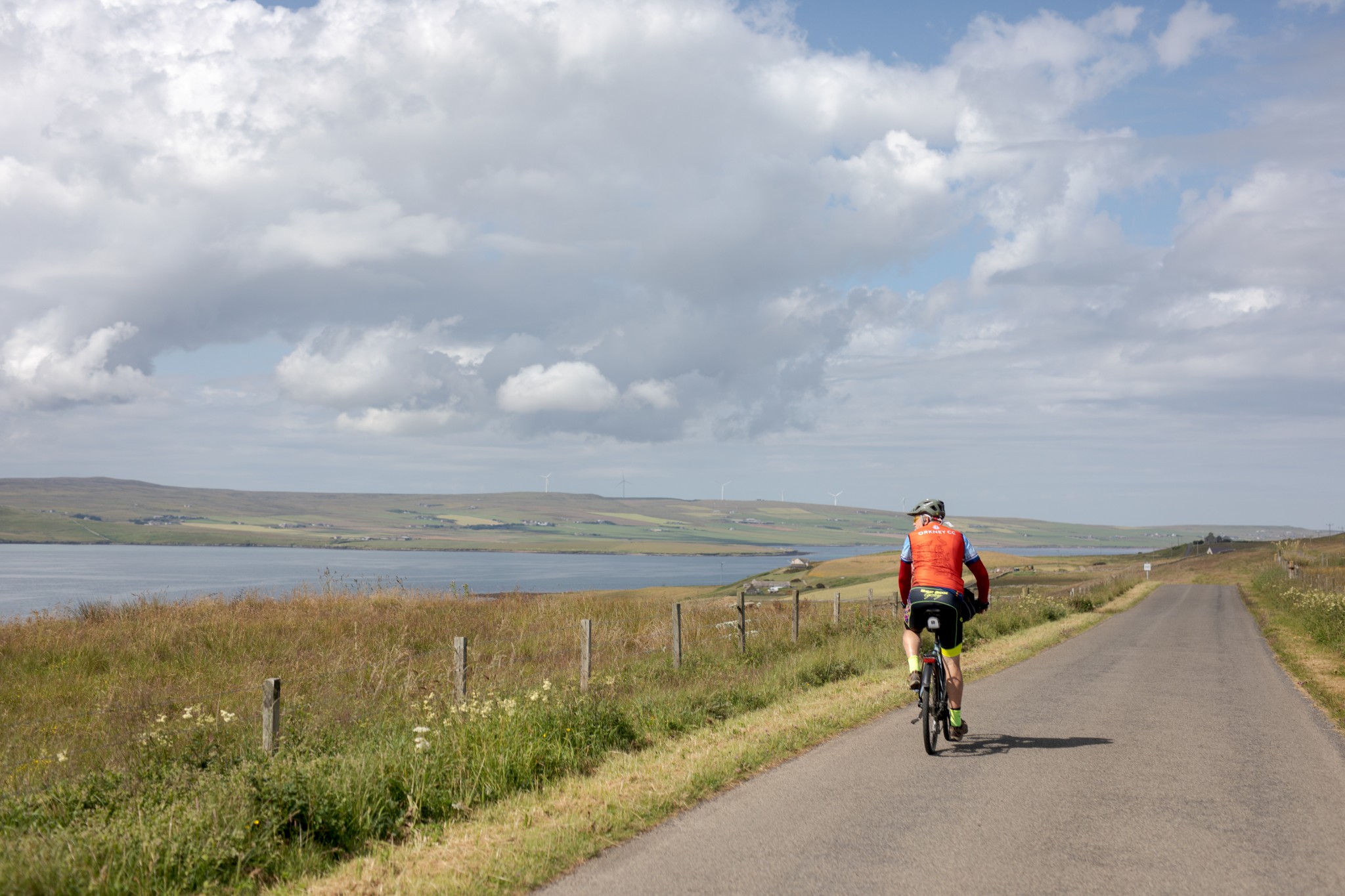
From the ferry, look for the waiting room and Heritage Centre. The display gives a great introduction to the island and the community you’re about to pass through. From here, follow the road uphill, keeping left to arrive at a T-junction opposite the gates for Trumland House. Turn left here to head clockwise on the main road circumnavigating the island. After around 300m you’ll pass Trumland Farm, from where bikes can be hired (pre-booking is recommended). If you are spending more time in Rousay, you could also follow our RSPB Trumland walking route to explore more of the island's wild side.
Around 300m uphill you’ll see a sign for the Taversoe Tuick, a fantastic two-storey Neolithic chambered tomb sited a short walk off the road to the right. It’s the first in a series of archaeological sites which have led the island to be called ‘the Egypt of the North’.
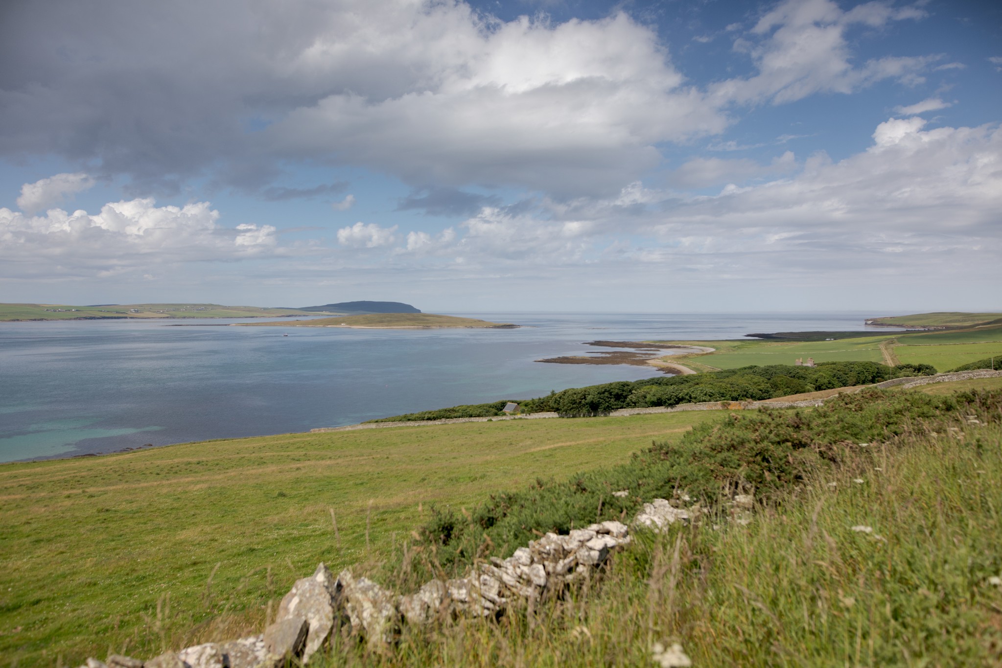
Carry on along the road heading west with views to the Orkney mainland on your left and the island of Wyre behind. The Blackhammer Chambered Cairn is around 1km beyond the Taversoe Tuick and is a short distance from the road. A little further on, the Knowe of Yarso involves a bit more of a walk (around 2km there and back) but the view down the southwest side of the island with Eynhallow and Costa Head in the distance is an excellent reward for the effort.
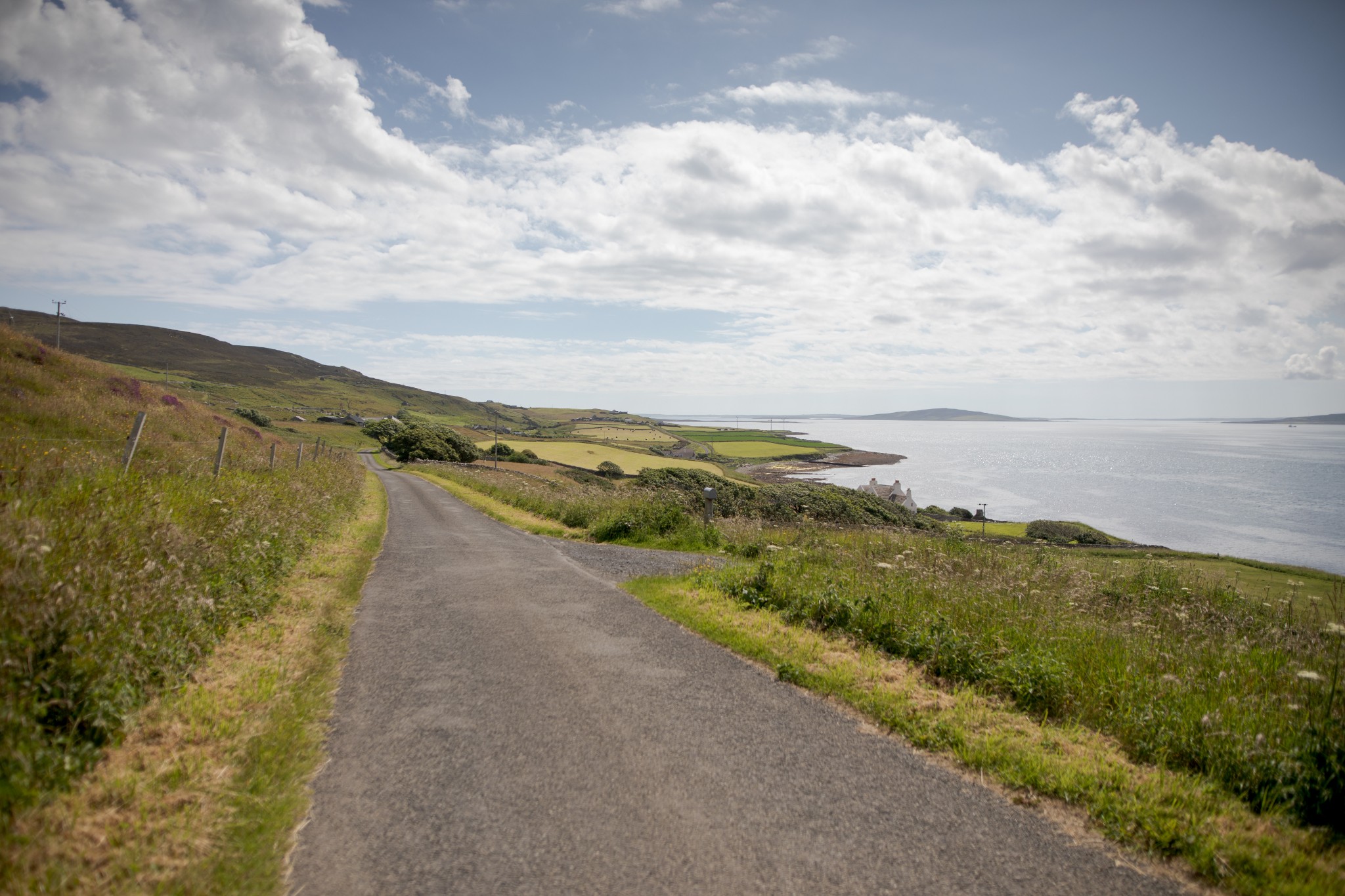
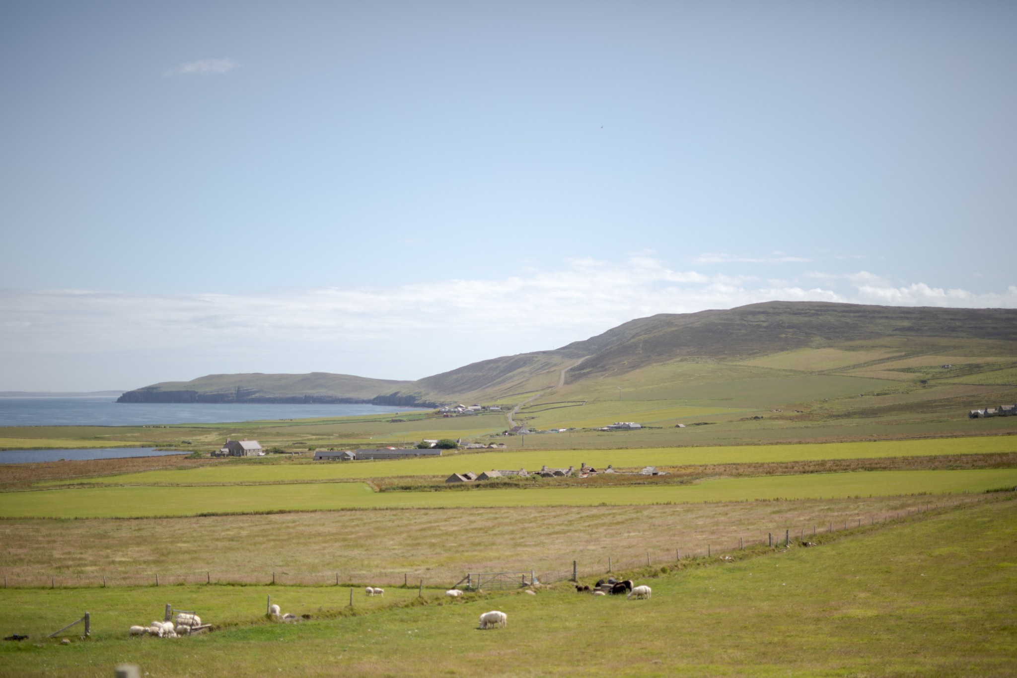
A little further on lies the Taversoe, where you can enjoy local food and drink with the most fabulous view. The road carries on west then northwest, gradually rising from Hullion to pass Westness Farm. The holy island of Eynhallow, once the site of a small monastery, lies below, surrounded by strong tides.
Around 2km beyond Westness Farm is the car park for Midhowe Chambered Cairn and Broch. It’s well worth the walk downhill to visit these sites, along with the 17th century St Mary’s Church and nearby farmsteads. The broch is one of the finest in Orkney.
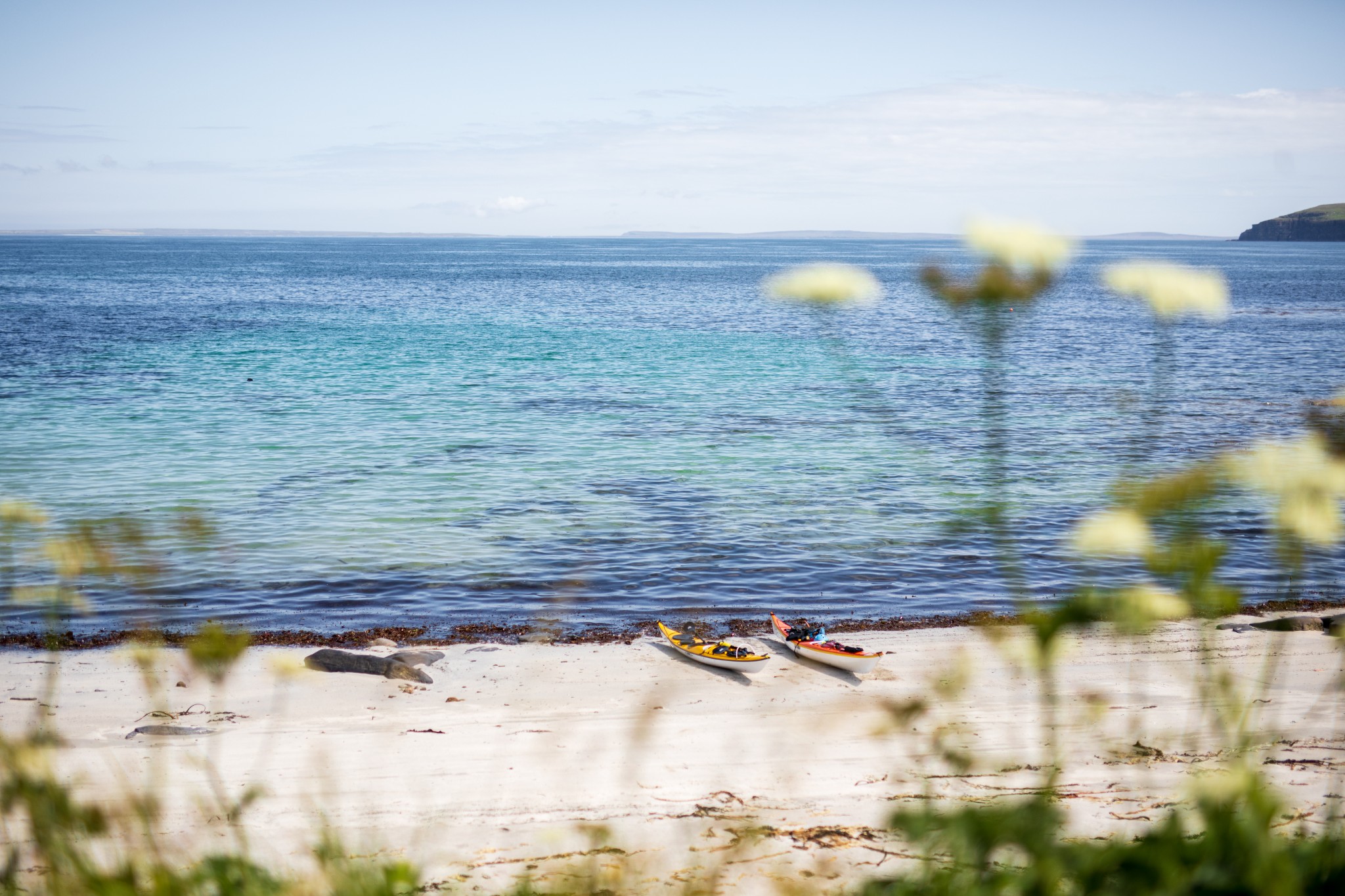
Returning to the saddle, carry on following the road as it unwinds northwest then northeast for around 3km to arrive at the district of Wasbister. Just before the Loch of Wasbister the main road takes a sharp right. Ignore this and carry straight on instead, taking the minor road which goes around the loch. There’s a picnic bench at the beach at Nousty Sand – a fine spot to watch seals and to look along the island’s north coast.
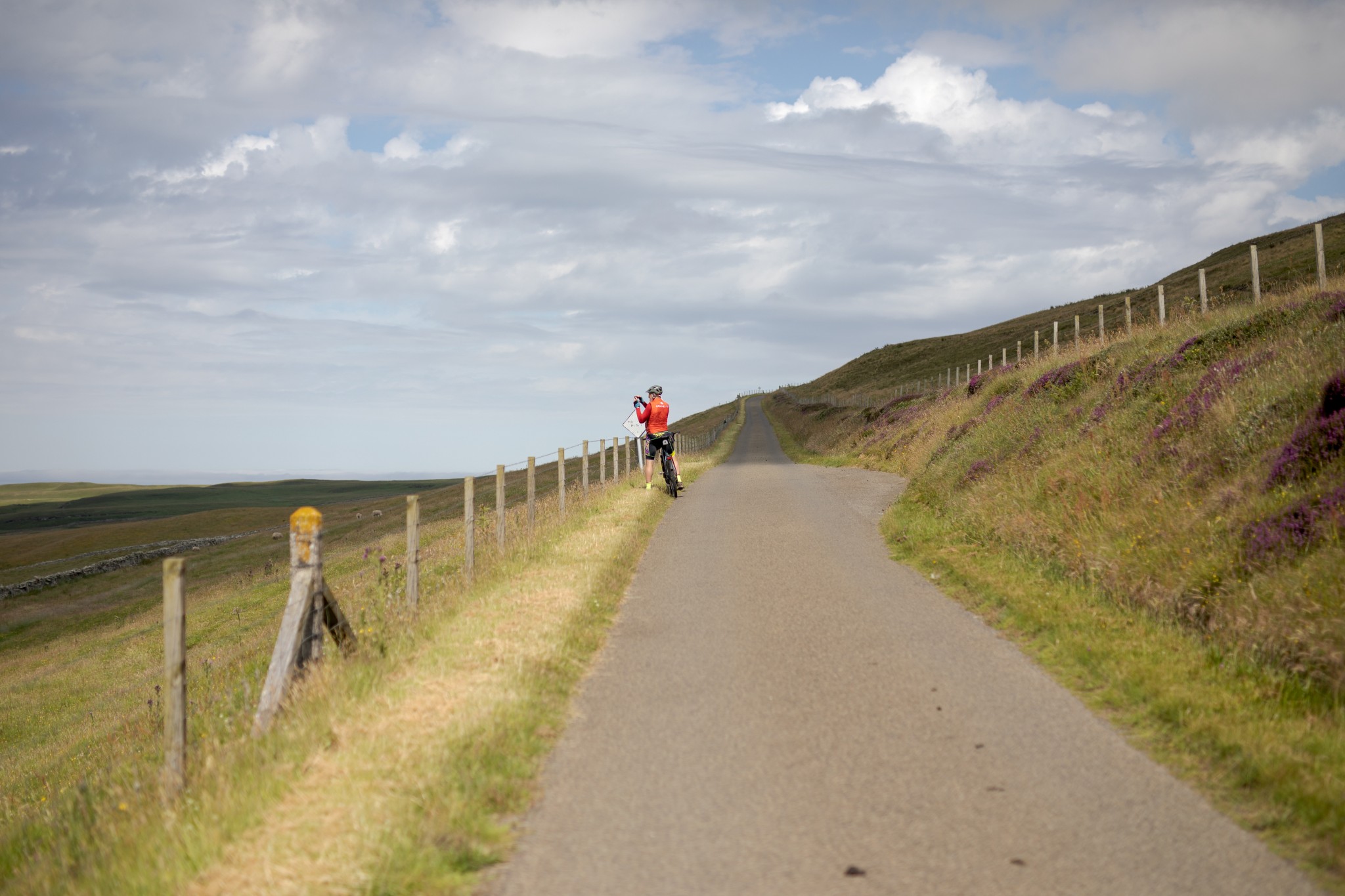
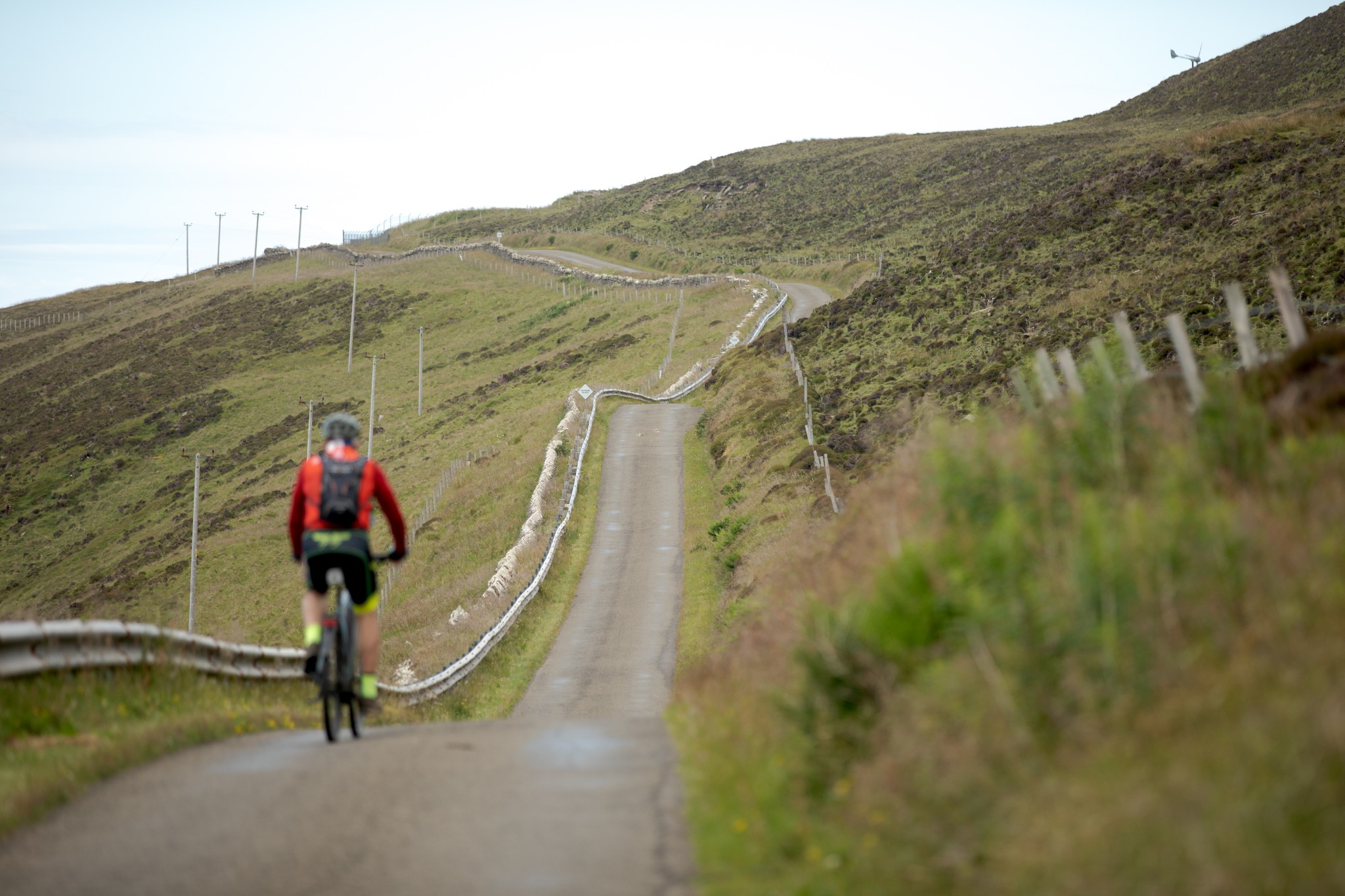
You can also gird yourself for the road ahead, which can be seen rising steadily to near the summit of Kierfea Hill.
Keep following the route around the loch to meet the T-junction with the main road. Turn left and start your steady climb. It’s not as steep as it appears from Wasbister and a steady pace in a low gear will soon get you to the summit.
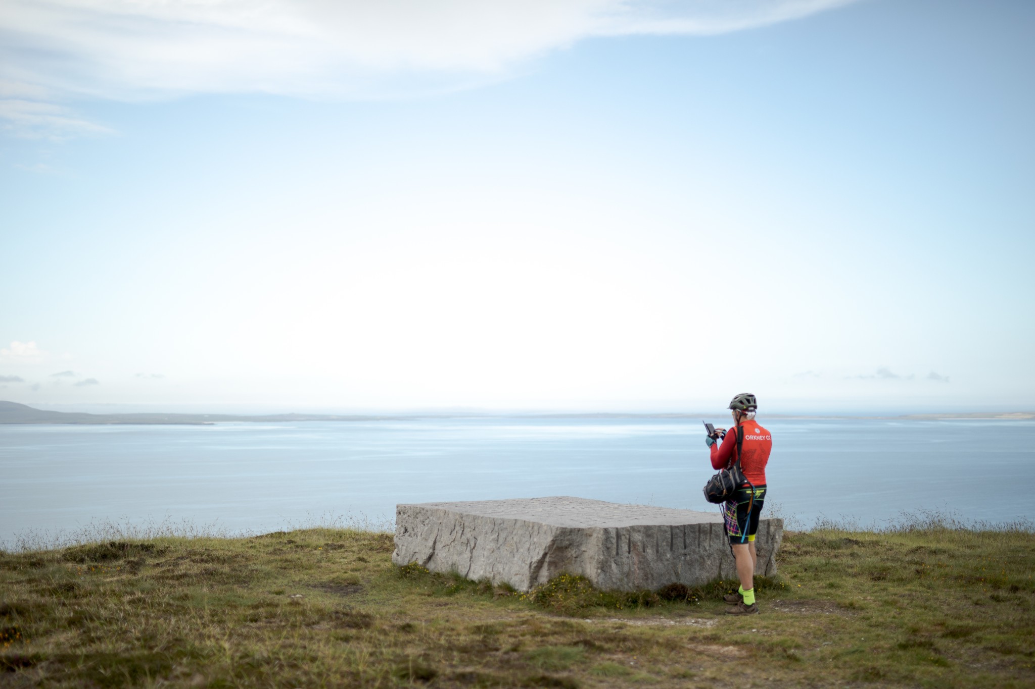
At this point, watch out for a large, flat stone set in the landscape a little to the left of the road. It’s a work by the renowned Scottish artist and poet, Ian Hamilton Finlay, who had a long association with this island. It pays homage to the people who lived for generations off the land and sea.
If you're feeling extra fit, or you plan on spending more time in Rousay, our Faraclett Head walking route lets you explore the north east corner of the island.
Next is a joyous – and well-deserved – downhill section. After around 1.5km, look out for the well-stocked island shop on the left-hand side. Ahead, across Rousay Sound, lies the island of Egilsay, with the distinctive tower of St Magnus Church.
After passing the school, the road rises gently uphill for around 3km. Just after a bend to the right, as it starts to drop, look for a turnoff on the left, leading sharply downhill towards the island surgery and graveyard. Follow the road as it turns right and carries you the final 1km back to the pier.
- Plan your trip to Rousay
Daily ferries connect Rousay and the Orkney mainland at Tingwall. View timetables and book online via the Orkney Ferries website. Booking in advance is recommended, and bikes can be carried for free.
There is one public toilet available in Rousay, at the island's pier.
Find out more about Rousay on the island's Explore page, or visit the Visit Rousay website.
- Food & drink
Marion's Shop is the island's well-stocked shop offering food and drink to enjoy on the go. It's open Mondays, Wednesdays, and Fridays between 2pm and 5pm, and on Sundays between 2pm and 4pm. The Taversoe offers refreshments, lunches and meals, all with a beautiful view. Do check opening times and booking information in advance.
This cycle route information was funded through the North Isles Landscape Partnership Scheme by the National Lottery Heritage Fund.